We drove from Quito to Baños by way of Quilotoa today. When the plan was originally pitched, I thought Quilotoa was (mostly) “on the way” to Baños. When you’re zoomed out far enough on Google Maps, the detour from Latacunga to Quilotoa doesn’t look like a big deal, but it’s a narrow, super windy road through the high mountains with a lot of steep ups and downs. It added an extra 3 hours to the drive (plus the amount of time we spent in Quilotoa). We wound up spending most of the day driving with a pretty good hike to break things up. It was just about perfect.
Hertz Always Hurts
We needed to rent a car for the next few days and that meant an Uber ride back to the Airport to pick it up. Hertz always seems to do the wrong thing when we rent from them outside the US. A few years ago they completely ghosted us In Costa Rica. They didn’t even open their doors the day we arrived. There was a huge line of people waiting along with us. We all waited multiple hours before an agent from a different car company came out to tell us he had called Hertz and the agents and they would not be opening that day. They “had no cars to rent” and didn’t bother letting anyone know. We all wound up renting from a competing agency for twice the price. We said we would never rent from them again outside the US, but they were the only rental agency that didn’t charge by the mile. We knew we were going to be driving a lot and didn’t want to have to pay extra for all our miles driven. So we risked it and rented with Hertz It wasn’t as bad as it could have been. In Quito they were open and had a car for us, but not the car we were expecting.
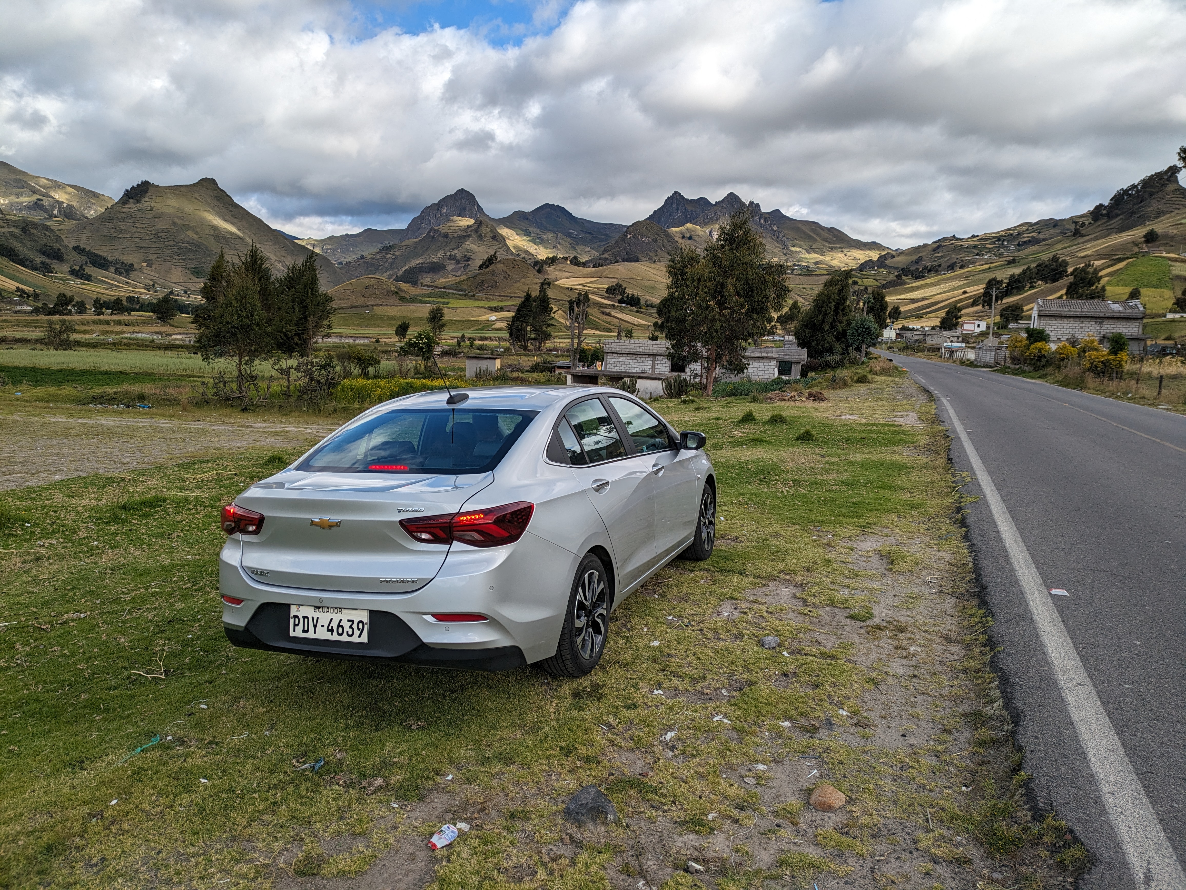
Sport Utility Vehicle (according to Hertz)
The SUV we reserved turned out to be a Chevy Onix. Hertz insisted it was “in the same class” as the SUV we were expecting. I’m not sure how a subcompact sedan can be classified similarly to SUVs unless the class is something like “vehicles with silver paint”. Oh well. I’m sure we’ll never know, but it wasn’t all bad. It got fantastic gas mileage and it did pretty well climbing those steep roads at altitudes above 12,000 feet. I don’t know how well my car would do at those altitudes. It was probably worse for the ladies riding in the back seat for so many hours, but it wasn’t too bad in the front seat.
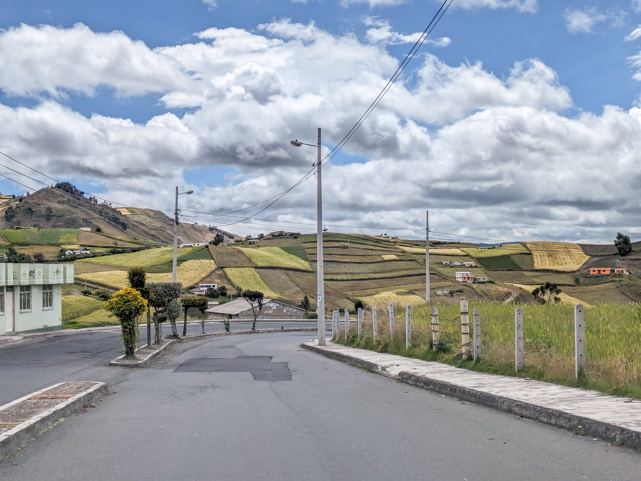
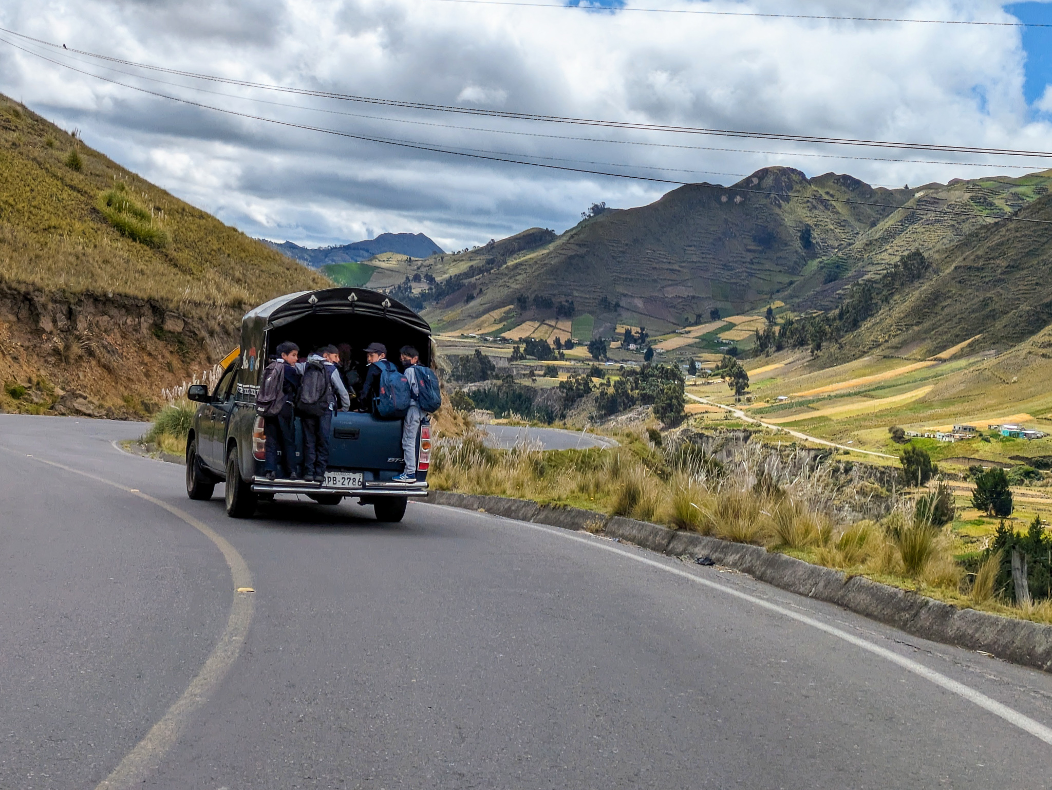
We stopped for snacks and drinks as we headed out of town and then we drove. Ecuador has speed cameras and everyone told us to use Waze to avoid them. It worked pretty well, but we didn’t see any speed cameras after leaving Quito. Sometimes there wasn’t any signal, but we managed do all our driving through Ecuador without a single ticket (unless one shows up in the mail at some future point, but I think that’s very unlikely). So we drove up, down, and through amazing mountain passes and valleys. We drove along and over rivers. The scenery was incredible so we just kept driving. We didn’t even stop for lunch.
Windy and Windy
We drove and drove until we had to pee. I think everyone expected to be able to find a bathroom once we made it to Quilotoa, but the steep winding high mountain roads kept us from that goal. We kept driving until it was nearly an emergency. By the time we pulled the car off the road at the top of a high mountain pass, we really had to pee. We had to pee right then. Immediately. The pass was somewhere above 13,000 feet and completely exposed. The wind was swirling at high velocity and completely insane. There was no way to hide from it. But there was no choice for any of us. We had to pee. Careful attention had to be paid to avoid having pee blown up into your face or all over yourself. Somehow we all managed to avoid any wet clothing or faces. It was an Ecuadorian miracle.
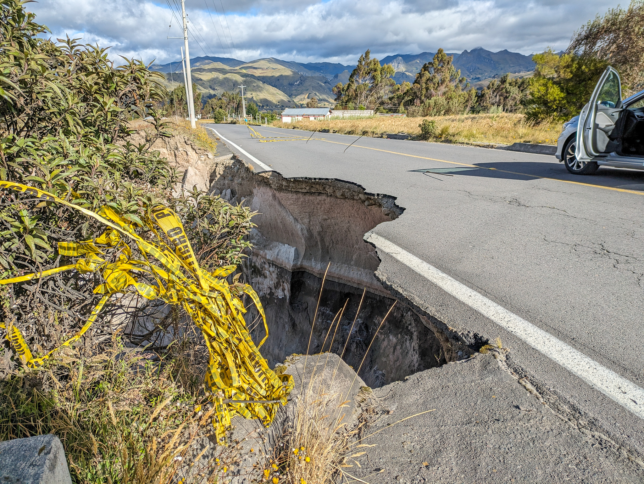
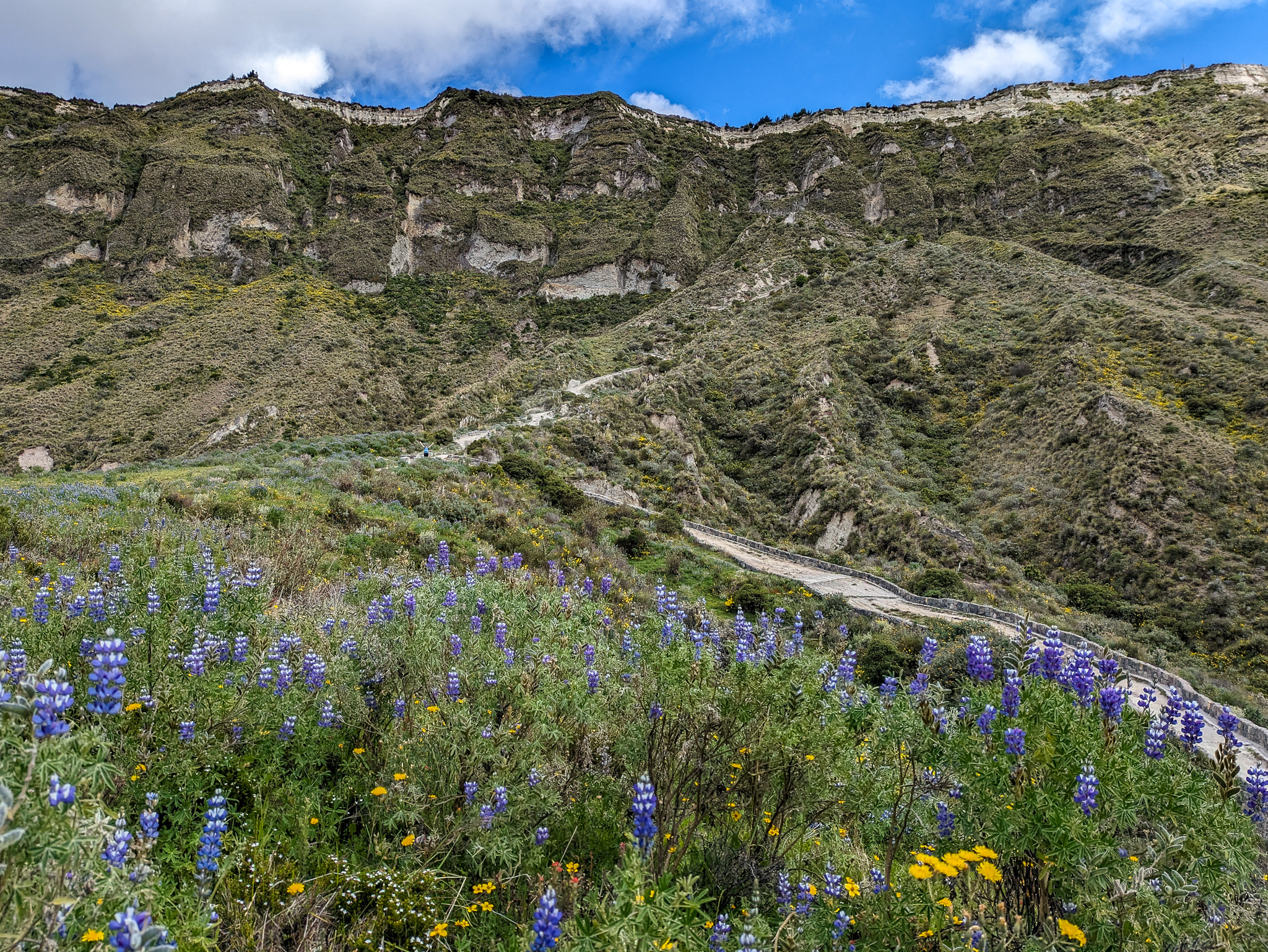
As we drove down from that pass, we came to the small town of Zumbahua, where the farms went straight up the mountain sides. It was really pretty. And it wasn’t that far from town to Quilotoa. There was a river that had cut some amazing canyons there, and one place where the road had been undercut by water.
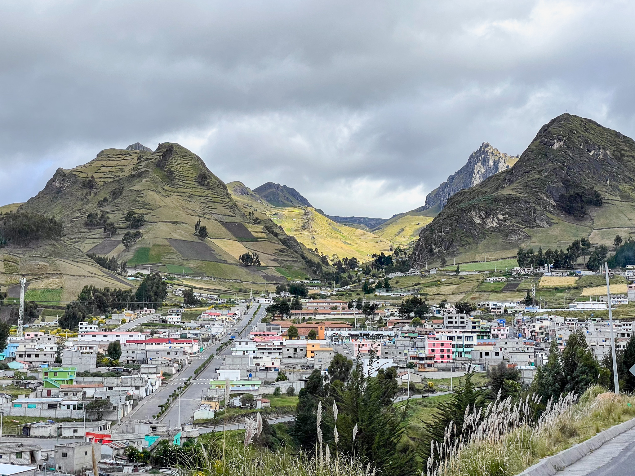
It wasn’t long before we were parking in the little town of Quilotoa that overlooks the lake. It had taken a lot longer to get here than we anticipated and we knew we had to retrace our path back to Latacunga when we were done. We didn’t want to spend too much time here because we still had a long way to drive to get to Baños. So we decided to just checkout the various lookout points, take some pictures, and then continue on our way.
Brett and Jess were moving quickly to get from the parking lot over to the first lookout point. Charmaine decided not to leave her electronics and other valuables in the car, so she loaded up her backpack before we headed out to follow them. It wouldn’t have been a big deal except that somehow both Charmaine and I managed to completely misunderstand the communication about the stop here. Instead of trying to get back on schedule by staying along the rim of the crater and enjoying the lookouts, the plan was to still do the super steep hike down to the lake… just to do it faster. Taking extra time to load up a backpack until it was extra heavy did not help us stick to the plan. I opted not to put on my new hiking boots, since that would have taken even more time.
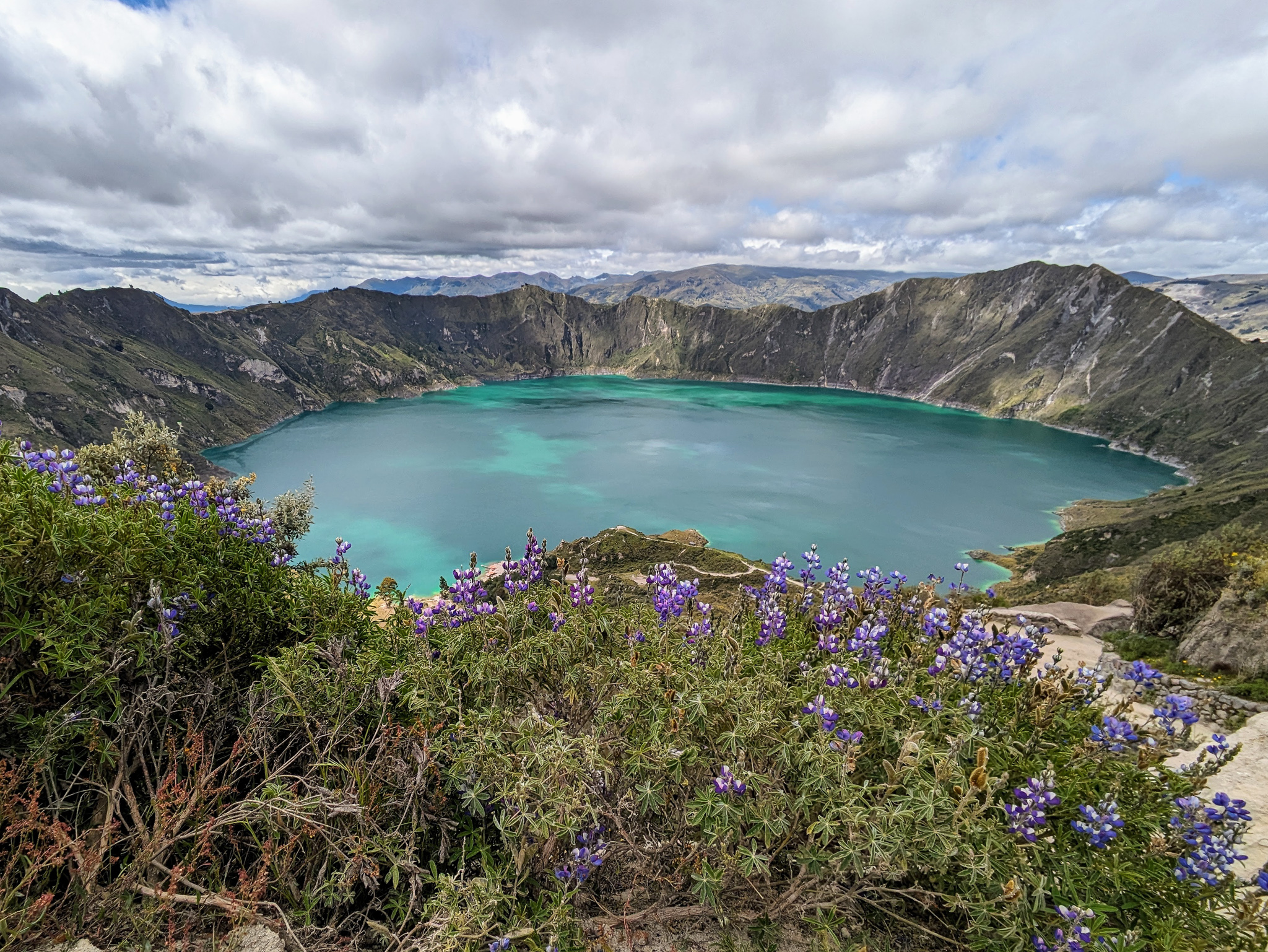
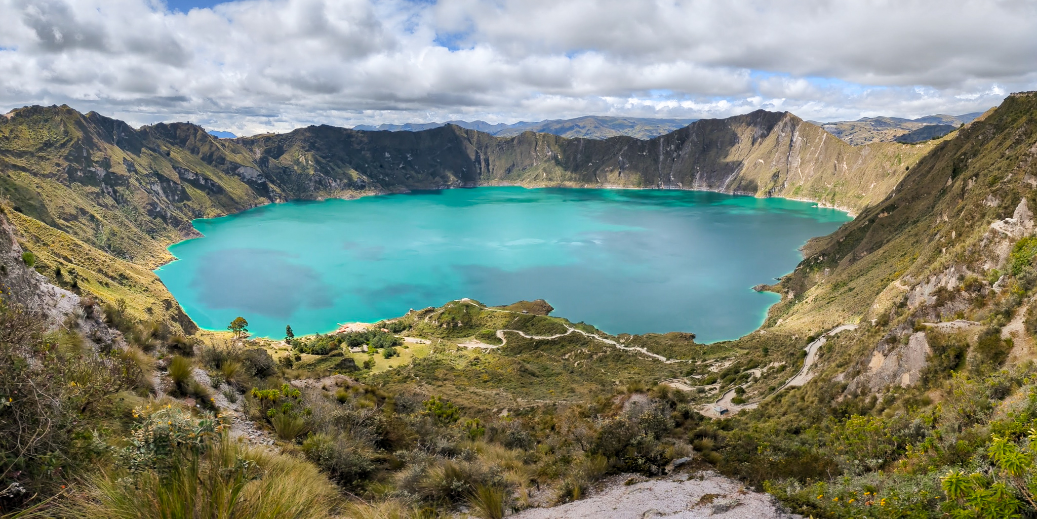
Laguna Quilotoa
We took a few pictures at the top and then started walking the trail that loops around the rim of the crater. Mirador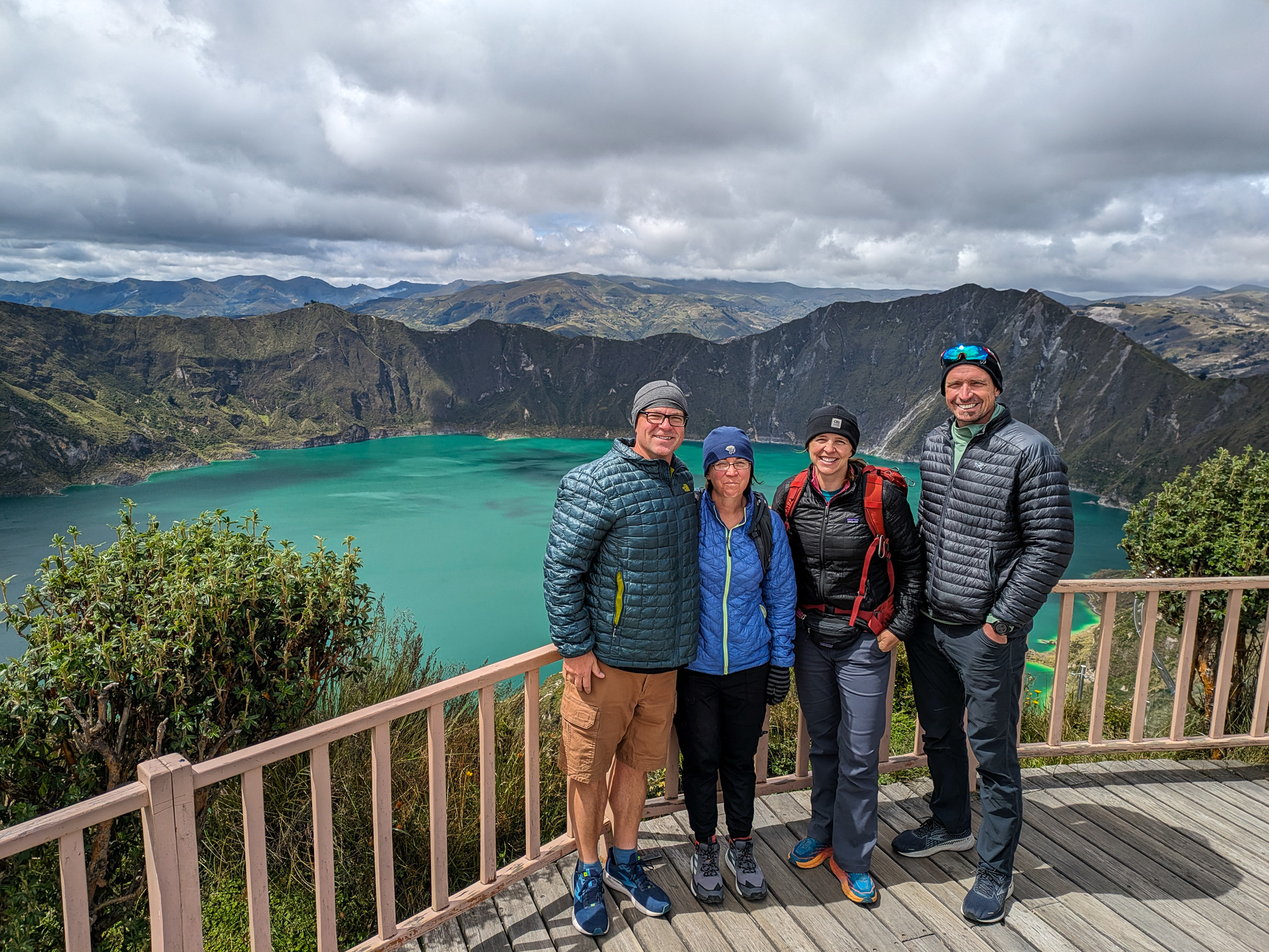
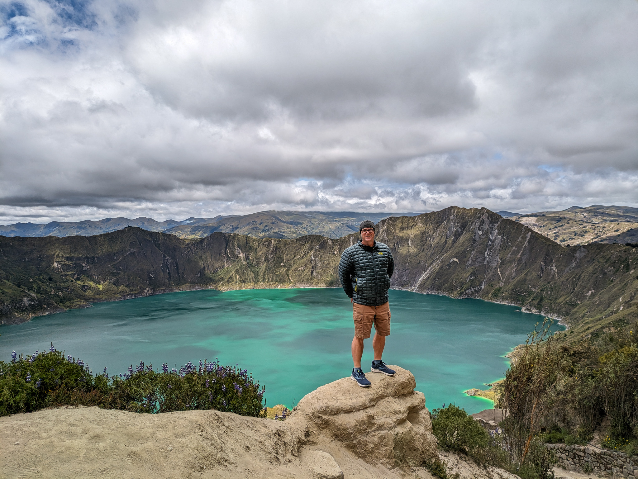
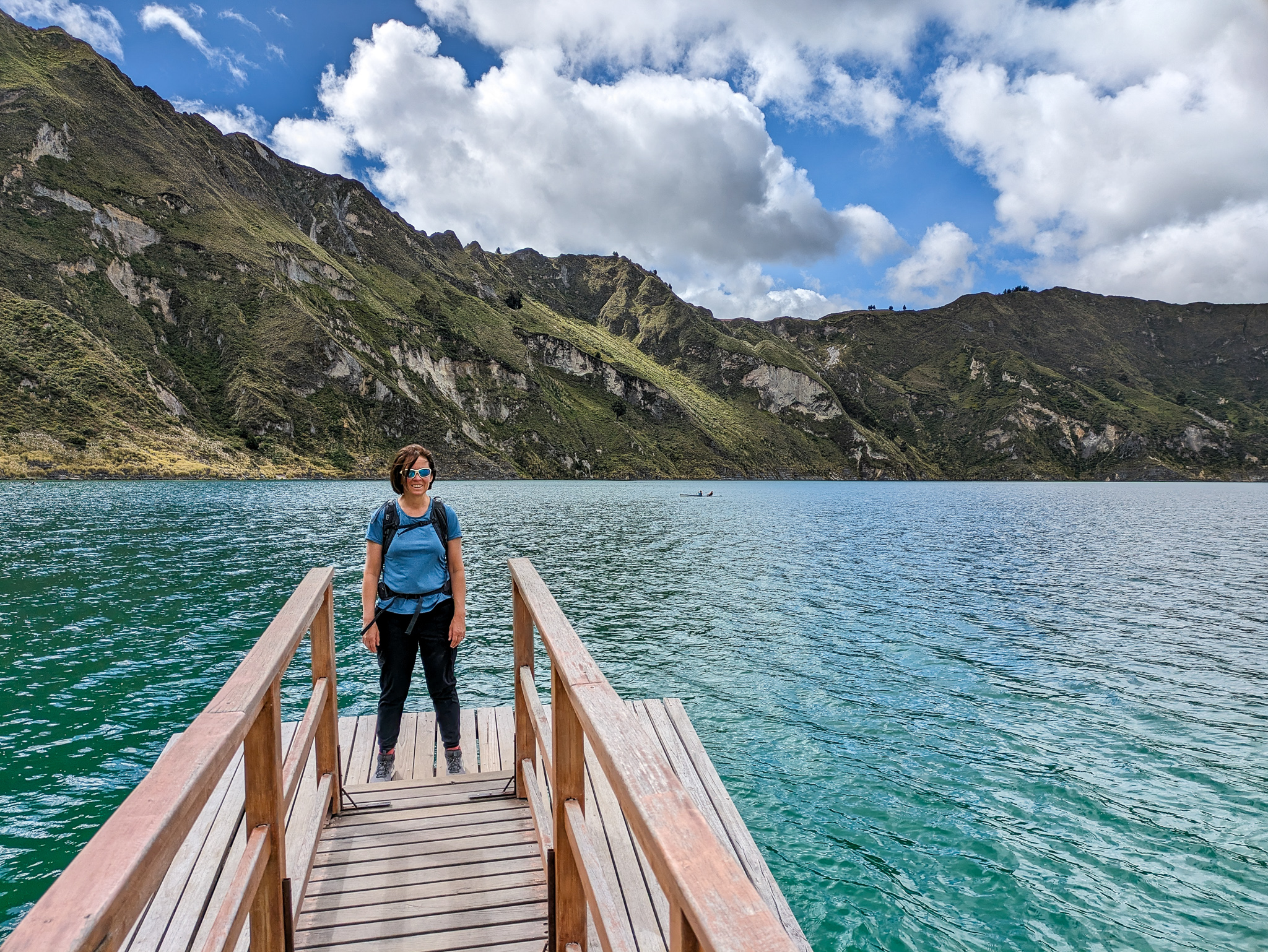
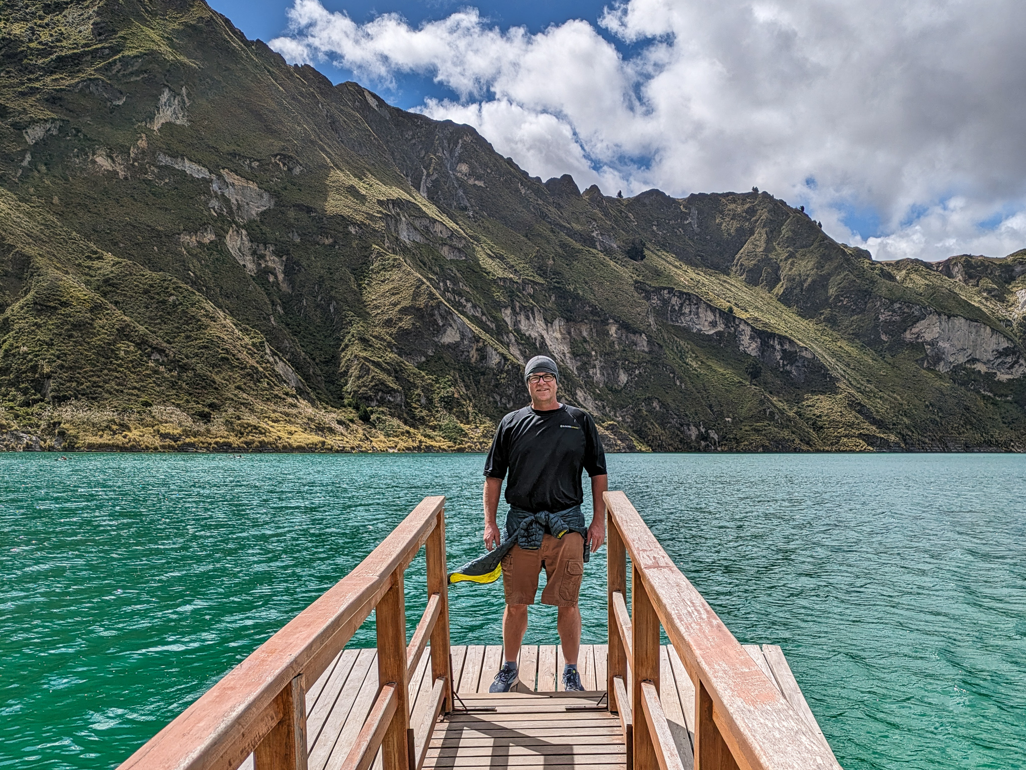
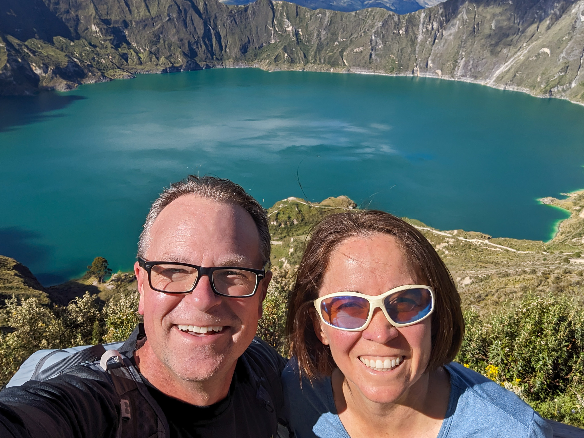
At one of the viewpoints Brett said something like, “We should really just sprint to the bottom and then hit these lookouts on the way back up if there’s still time.” That’s when I realized it was going to be rough day. Suddenly I knew why the trail seemed to have more downs than ups. We were not following the crater rim trail after all. It was the trail down to the lake shore. We were already too far down to consider going back to ditch the electronics or put on appropriate footwear. I think it’s about 1,100 vertical feet each direction and we were probably 200 feet down already. In the end Charmaine wound up doing the hike with an extra 15 pounds on her back and I wore my running shoes down and up the steep sandy slopes. Those shoes will never run again.
But it was worth it.
Laguna Quilotoa
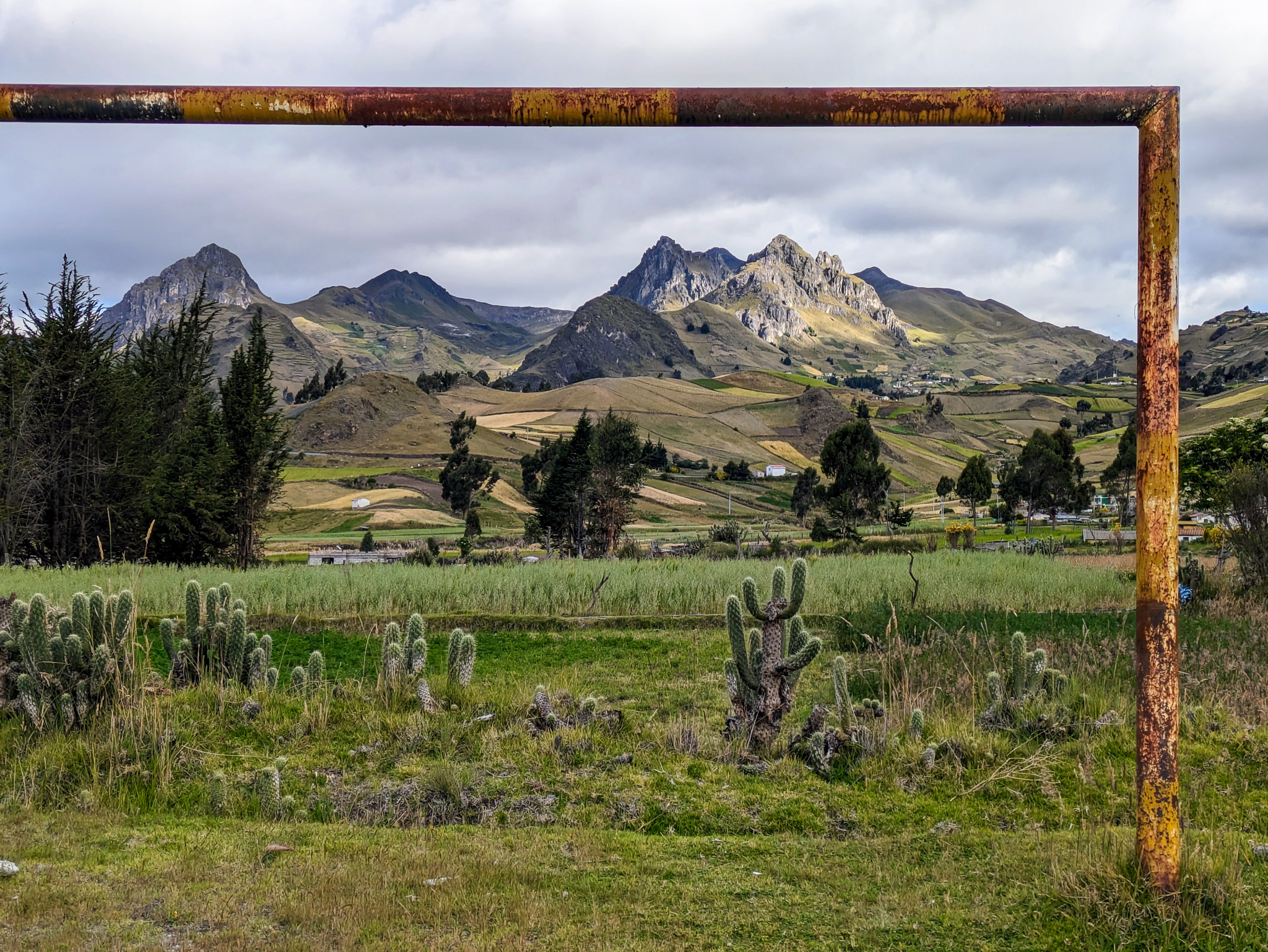
Quilotoa is the westernmost volcano in Ecuador. It’s last major eruption was more than 700 years ago. Just like Crater Lake in Oregon, Laguna Quilotoa is a lake that has formed in the crater of a collapsed volcano. The lake is more than 800 feet deep. The rim of the caldera around the lake is 12,840 feet above sea level. The surface of the water is iaround 11,480 feet, but has been slowly declining for at least 10 years. There are several well-known hikes in the area including a 6 mile hike around the rim and a steep descent down (and back up) to the marina at the surface of the water. The lake is a beautiful emerald green color because of the volcanic minerals (sulfur) dissolved in the water. They don’t allow swimming in the volcanic waters, but they do rent kayaks so you can paddle around the lake in search of hot steam bubbles escaping from the bottom of the lake at random times and in random places. I don’t know what they would do to me, but I think if I took a kayak out to the middle I might “accidentally” fall out and have to swim back to my kayak. But I digress.
Like many similar steep hikes, the locals wanted to get you on a donkey or a horse. We saw the same thing in Santorini. We haven’t ever ridden one and I’m not convinced it would be any easier to ride a donkey up than it is to just do the hike. Maybe it shows my lack of donkey riding skills, but I would definitely prefer to be on my own legs and go at my own pace and see all the nice viewpoints along the way. Despite all that, I still tried to convince Charmaine to take a horse back to the top. The horse rental people were offering rides back to the top $10 each, which seemed pretty reasonable. She declined, but then went back to accept. By that point the price had doubled to $20. I told her to pay it and smile, but she felt like they were trying to rip her off, so she wanted nothing to do with it. It turns out they didn’t really change the price. They charge $10 per horse, but won’t go up unless there are at least 2 horses making the trip. It’s not worth it to them to do it for just $10. Hiking back up was probably the right choice anyway, for all the reasons mentioned previously.
At the top we had a quick bite to eat and then drove back through the mountains and on down to the town of Baños, which sits about 6,000 feet above sea level. The sun seemed to set a little earlier than usual as we descended the Amazon side of the Andes, but we still managed to pull into town just as the sun was going down. It was a little sad to see how touristy it is here, but there must be a good reason for it. I suspect we’ll discover some of that reason when we begin our adventure tomorrow. Being a tourist trap has its benefits. We had no trouble finding good food. Tonight we went to a nice Indian place and had no choice but to overeat. I didn’t expect to find great tikka masala in the middle of the rain forest, but here it is.
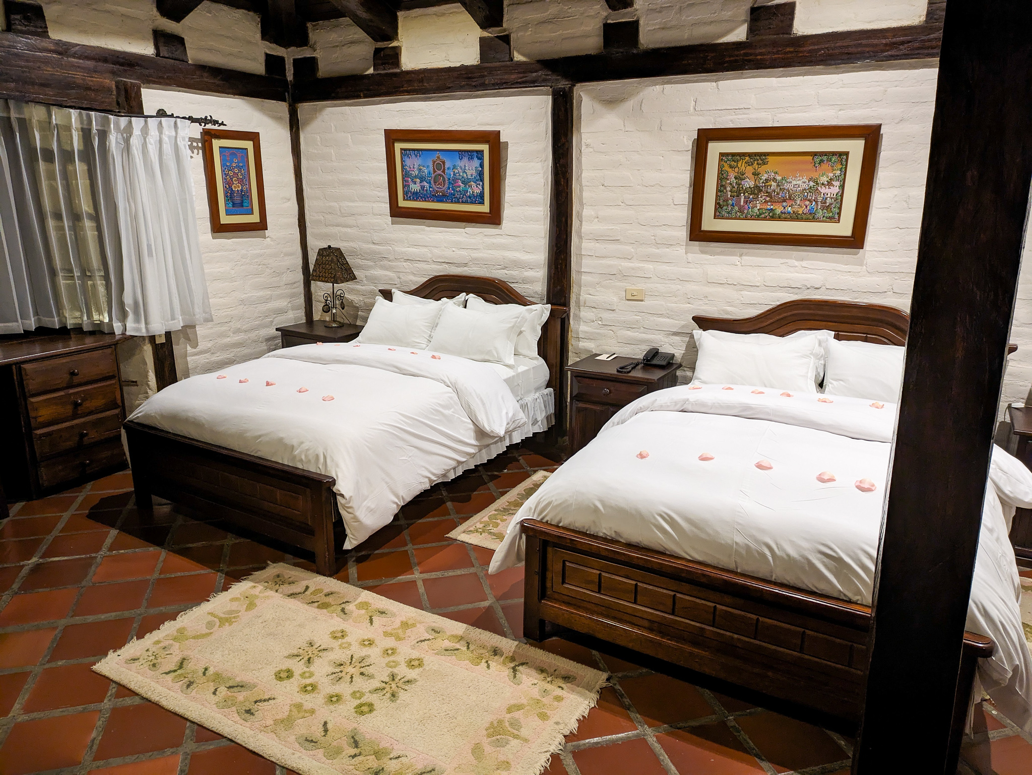
We are staying at the Samari Spa Resort. It is hundreds of years old. It used to be a Jesuit training center. It’s very fancy. It may be the fanciest hotel in town. I’m not going to complain. After all, I’m usually the one suggesting “Sanctuary Lodge” style hotels.